MapView
⚠️ This type is unstable and may change significantly in a way that the data won't be backwards compatible. A 2D map view to display geospatial primitives.
Properties properties
zoom zoom
Configures the zoom level of the map view.
background background
Configuration for the background map of the map view.
API reference links api-reference-links
Example example
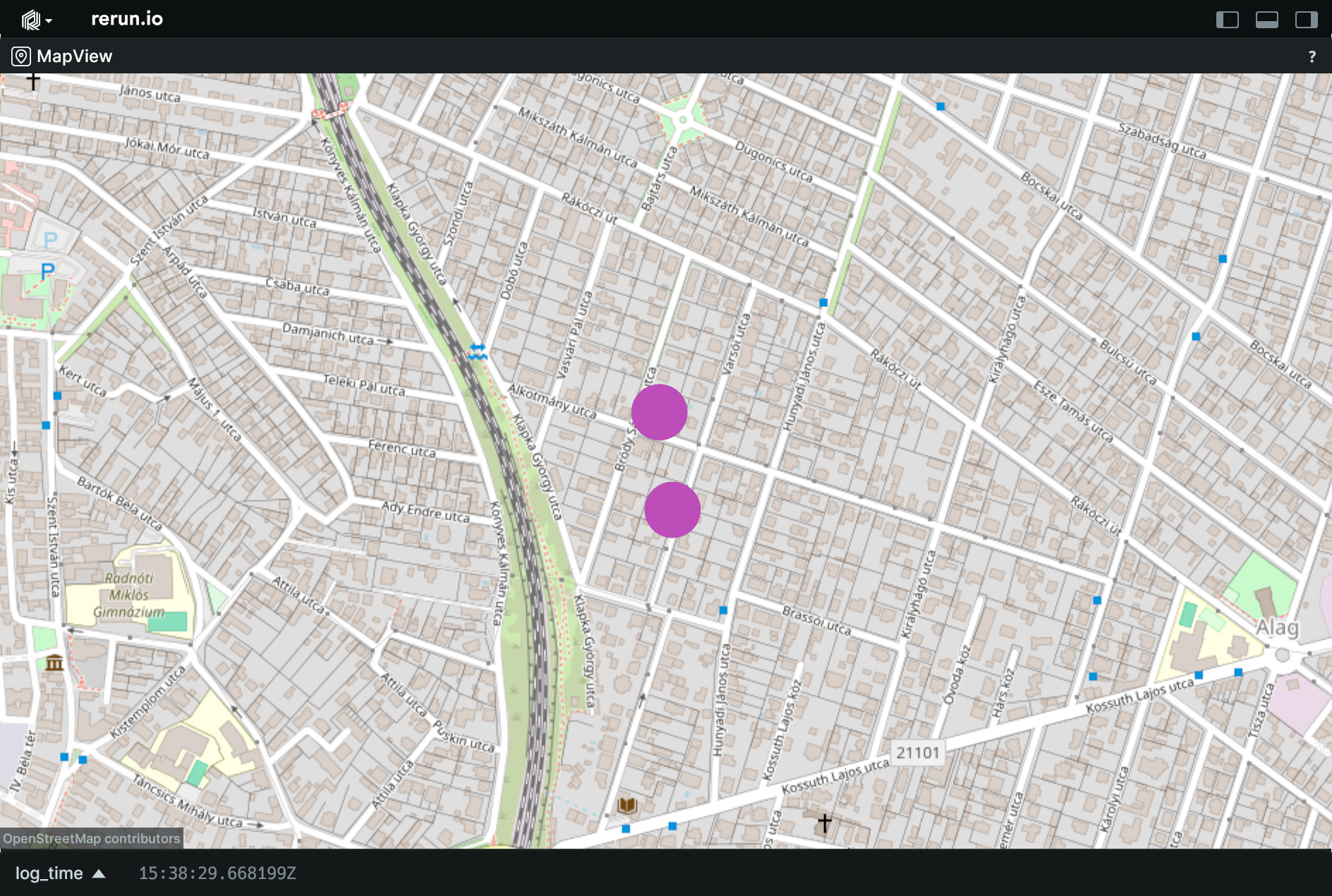
Use a blueprint to create a map view. use-a-blueprint-to-create-a-map-view
"""Use a blueprint to customize a map view."""

import rerun as rr
import rerun.blueprint as rrb

rr.init("rerun_example_map_view", spawn=True)

rr.log("points", rr.GeoPoints(lat_lon=[[47.6344, 19.1397], [47.6334, 19.1399]], radii=rr.Radius.ui_points(20.0)))

# Create a map view to display the chart.
blueprint = rrb.Blueprint(
    rrb.MapView(
        origin="points",
        name="MapView",
        zoom=16.0,
        background=rrb.MapProvider.OpenStreetMap,
    ),
    collapse_panels=True,
)

rr.send_blueprint(blueprint)